 Syllabus
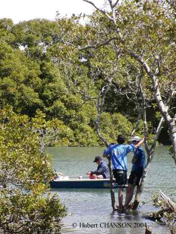
Advanced open-channel hydraulics and applications: design of spillways, energy dissipators & hydraulic models. Reservoir management. Environmental impact on the catchment.
Subject rationale: The aim of the subject is to develop a sound understanding of the hydraulic design of civil engineering structures and of their environmental impact. Fundamental fluid mechanics principles are applied to professional water engineering problems.
Subject goals: The subject CIVL4120 is a professional subject in which the students learn how to apply fundamental principles to practical situations. The design of a reservoir is based on a system approach. The structure must be analysed as part of the surrounding catchment and the hydrology plays an important role. Structural and hydraulic constraints interact, and the design of a hydraulic structure is a complex exercise altogether. First the system must be identified. What are the design objectives ? What are the constraints ? What is the range of options ? What is the "best choice" ? Its detailed analysis must be conducted and the engineers should ask : is this solution really satisfactory ? During design stages, physical and computational models may be reliable 'tools' to compare the performances of various design options.After completion of the subject, each student will know how to apply the fundamental fluid mechanics principles to professional designs and they will be familiar with the multi-disciplinary aspects of an engineering project.
Assumed background: The subject is a professional design subject. It is expected that the students have mastered the fundamental principles of fluid mechanics (subject CIVL2131) and that they have understood completely the basic concepts of catchment hydraulics. (subject CIVL3140). This course is an advanced hydraulic engineering elective and a professional course.
The subject is the second of a series of two subjects (CIVL3140 and CIVL4120) dealing with hydraulic structures and their interactions with the environment.
The subject outline may be downloaded from the School of Civil Engineering Course Profile List: http://www.uq.edu.au/study/course.html?course_code=CIVL4120.
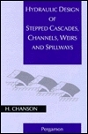
+ CHANSON, H. (2001). "The Hydraulics of Stepped Chutes and
Spillways."
Balkema, Lisse, The Netherlands (ISBN 90 5809 352 2).
+
Introduction to Catchment Hydraulics,
CIVL3140 website
+ Alternative
Hydraulics by Professor John Fenton
+ Advanced Fluid Mechanics, CIVL4160 website
+ Environmental Modelling, CIVL4140 website
+ Softwares : HydroChan & HydroCulv by Hydrotools software (For teaching purposes only)
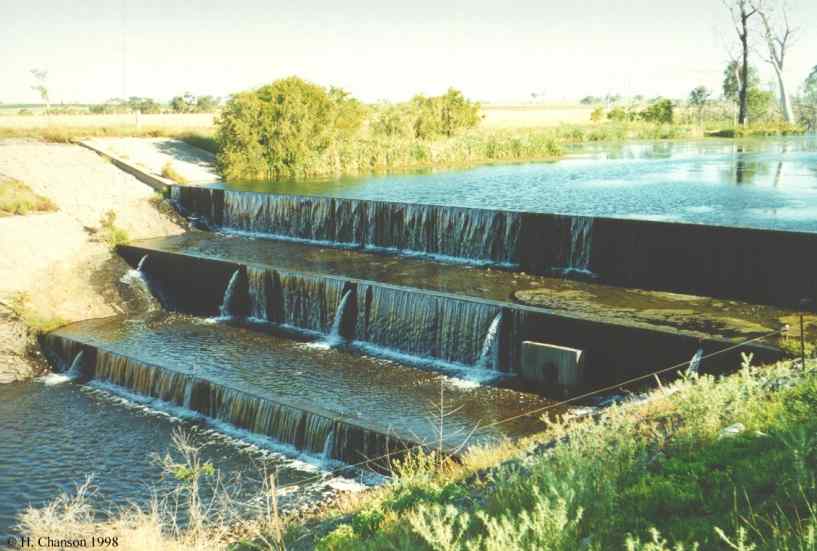 Joe Sippel weir, Murgon QLD
Structure of the lectures
The subject presents advanced hydraulic engineering
lecture material in open channel flow. Considering a complete catchment,
from upstream to downstream, the issues of soil erosion, sediment motion
and reservoir sedimentation are first covered. Then the hydraulic design
of small dams and weirs is discussed. A key component is the spillway
system whcih includes the crest, the chute and the downstream energy
dissipator. Last the propagation of flood waves in the downstream
catchment is presented : i.e., unsteady open channel flows.
Sediment transportText book exercises : http://www.bh.com/companions/0340740671/exercises/.
Spillway design : Tutorials (version 27/8/02)
Unsteady flow analysis
Basic equations
Application
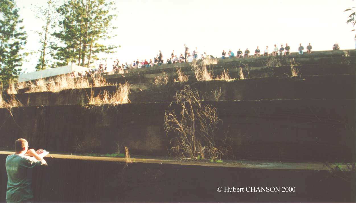
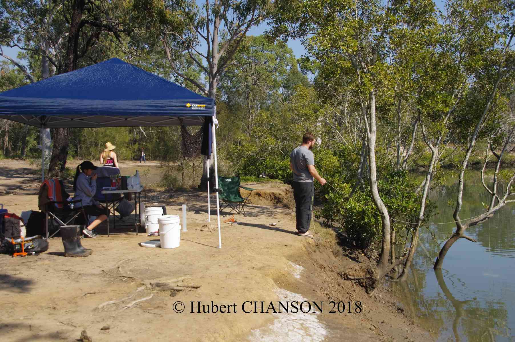
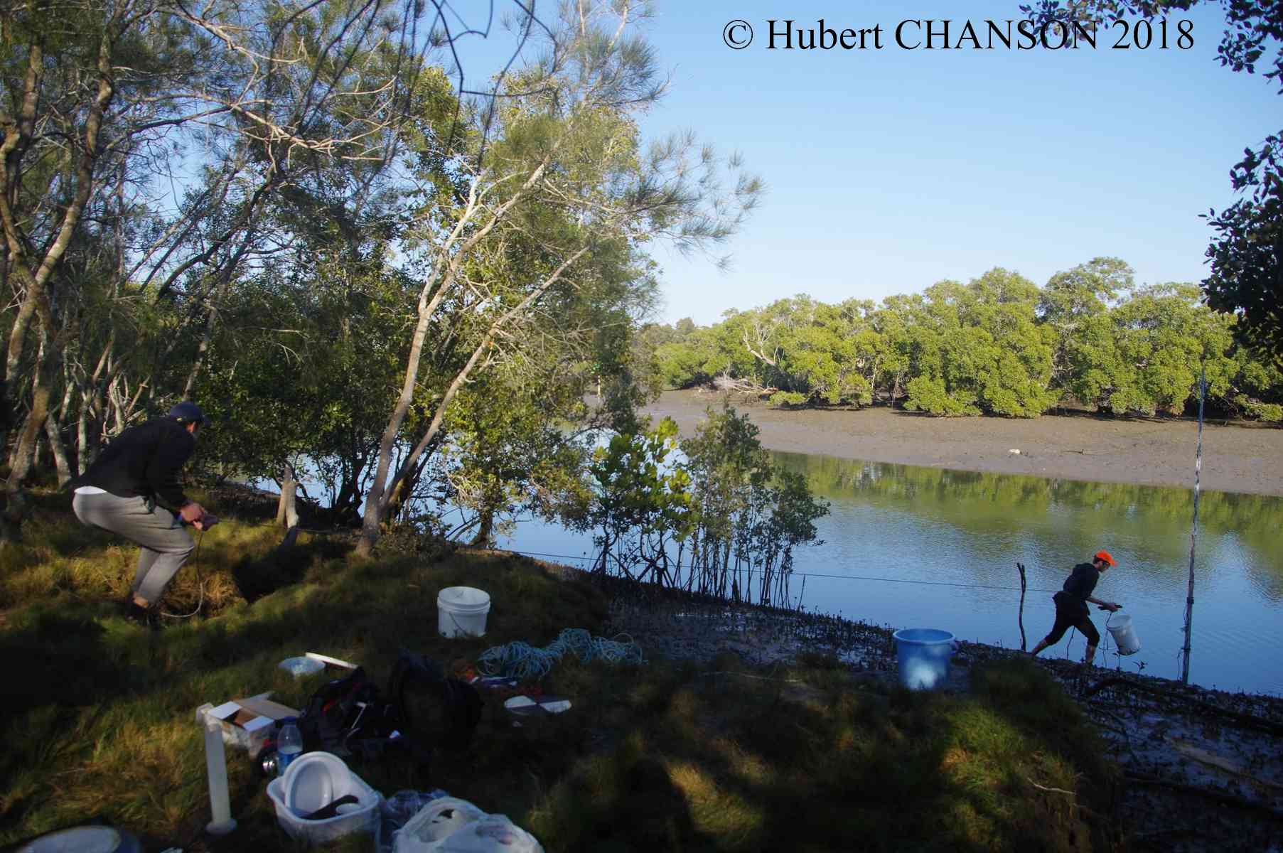
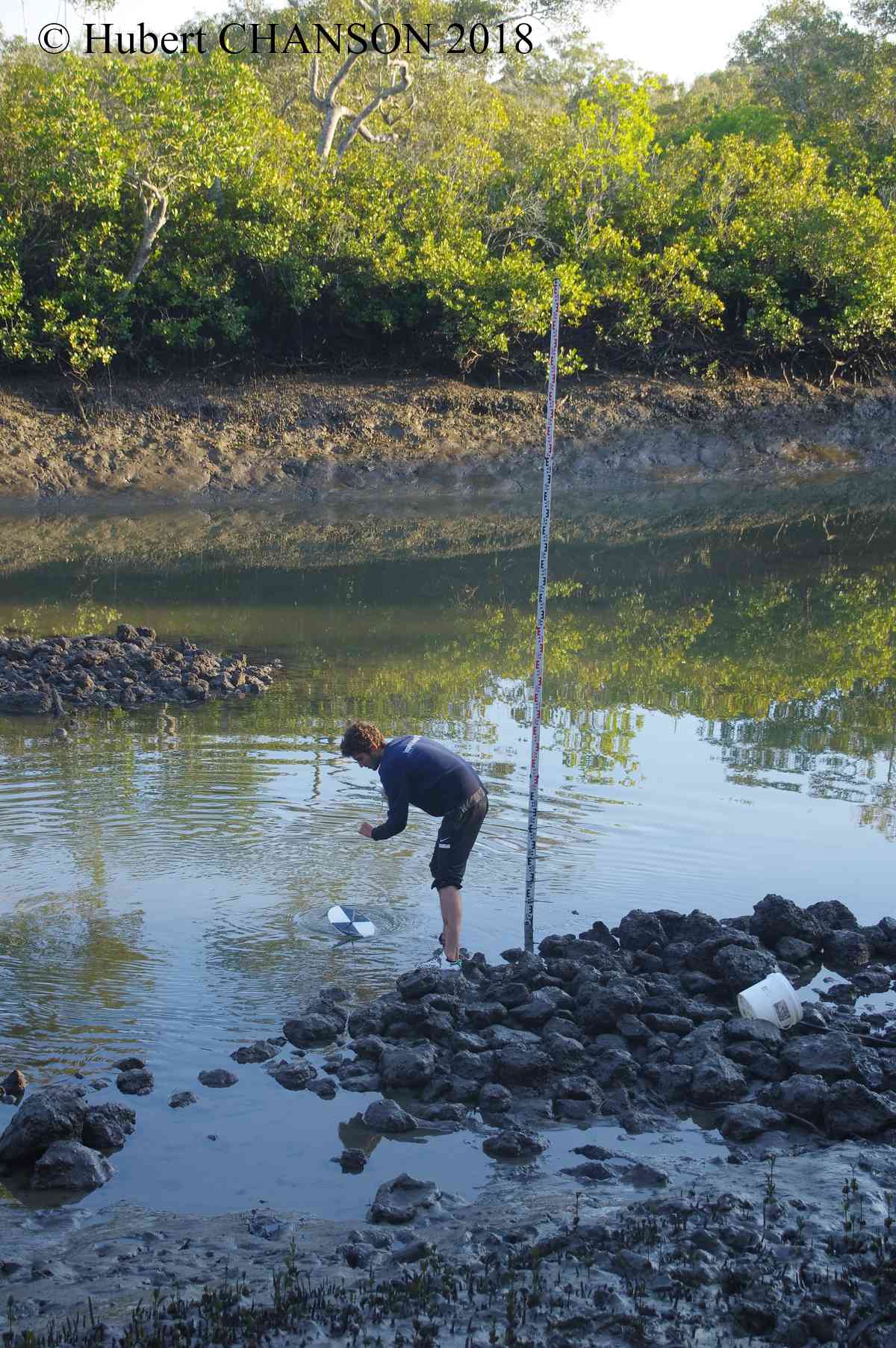
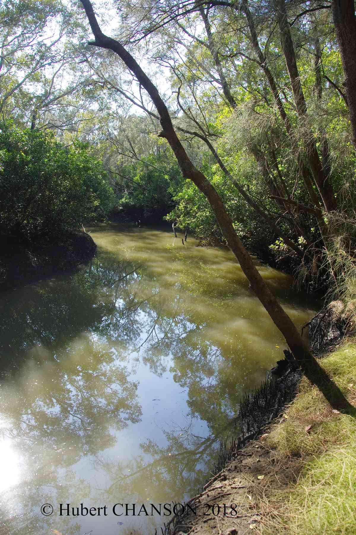
Field trip on 14 August 2018
Field works will place on 14 August 2018 at Eprapah Creek in the Redlands rea. The field study is compulsory. Students must be on site ahead of time for measurements to be performed between 6:00am and 6:00pm to survey the hydrodynamics and water quality of the estuarine zone. The results will be used to calibrate and validate the numerical modelling of the estuary based upon the method of characteristics and Saint Venant equations as well as to gain a first hand experience of a real-world natural system.
General instructions (8/8/2018)
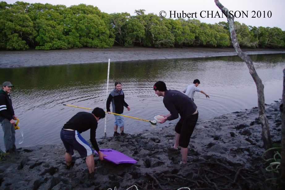
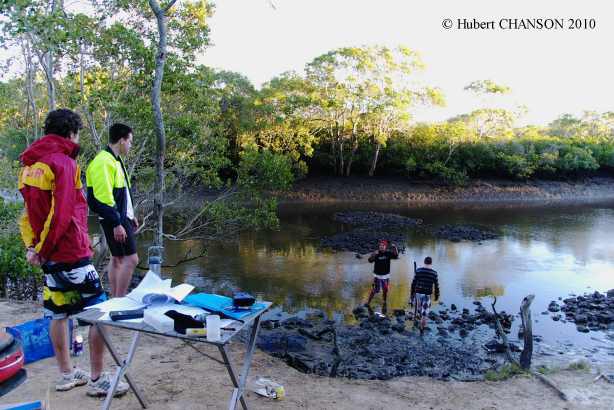
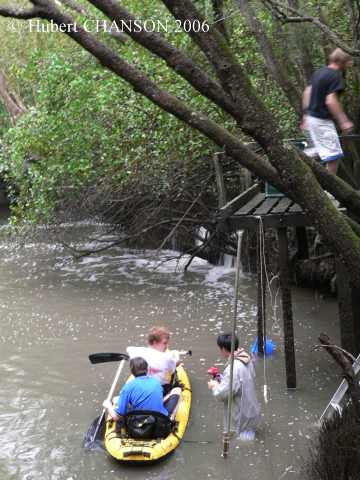
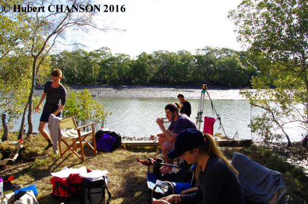
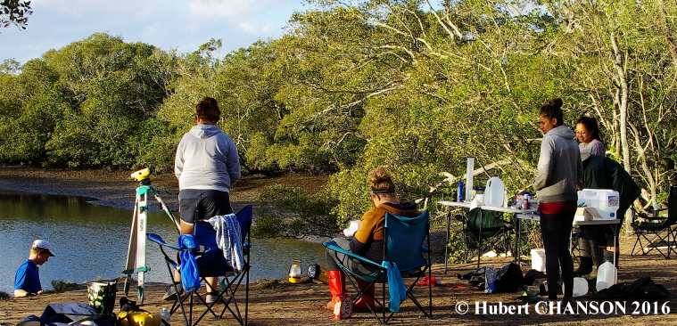
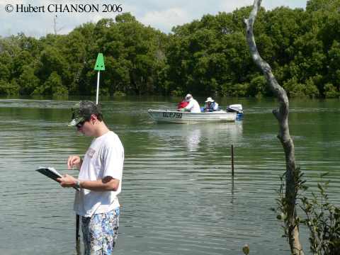
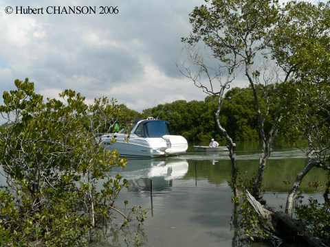
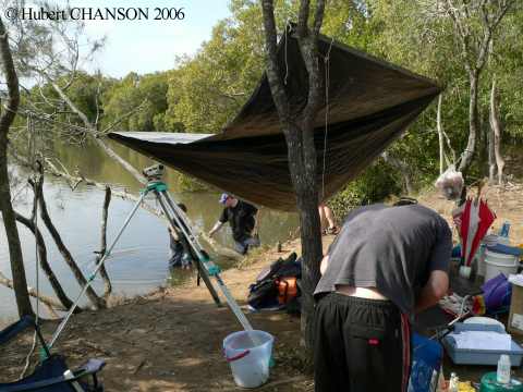
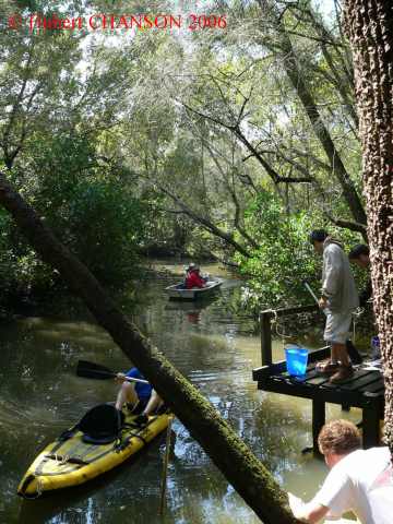
Photographs of the field study at Eprapah Creek on 14 August 2018
Site 1 (Group 1, AMTD 0.9 km): Photo No. 1.1: Group 1 about 06:15am at Site 1, right bank; Photo No. 1.2: Group 1 about 08:30am at Site 1; Photo No. 1.3: Group 1 about 08:30am at Site 1; Photo No. 1.4: Group 1 about 15:300 at Site 1.
Site 2B (group 2, AMTD 2.1 km): Photo No. 2.1: Group 2 about 07:15am at Site 2B, left bank; Photo No. 2.2: Group 2 about 07:30am at Site 2B; Photo No. 2.3: Group 2 about 10:15am at Site 2B; Photo No. 2.4: Group 2 about 16:30am at Site 2B.
Site 3 (AMTD 3.1 m): Photo No. 3.1: Site 3 about 09:15am, view from the right bank.
Visit of Hinze dam spillway and stilling basin on 14 October 2016
Photo No. 1: Stilling basin with turning vane in the foreground and baffle blocks, with the the steep stepped spillway in the background.
Photo No. 2: Stepped spillway.
Photo No. 3: Stilling basin and baffle block.
Photo No. 4: eastern brown snake in stilling basin.
Field trip on 19 August 2016
Field works will place on 19 August 2016 at Eprapah Creek, Redlands. The field study is compulsory. Measurements shall be performed between 6:00am and 6:00pm to survey the hydrodynamics and water quality of the estuarine zone. The results will be used to calibrate and validate the numerical modelling of the estuary based upon the method of characteristics and Saint Venant equations as well as to gain a first hand experience of a real-world natural system.
General instructions (5/8/2016)
Forms incl. fish/fauna sampling foms, risk assessment, waste management .... (7-zip format, version 17/09/2012)
Photographs of the field study in Eprapa Creek estuarne zone on Friday 18 August 2016
Site 1 (Group 1, AMTD 0.9 km): PhotoNo. 1.1: Group 1 at 06:30 on the right bank; Photo No. 1.2: water elevation reading at 11:00; Photo No. 1.3: Site 1 at 15:00.
Site 2B (Group 2, AMTD 2.1 km): Photo No. 2.1: Group 2 sampling from the left bank at 07:45; Photo No. 2.2: Group 2 at 16:30.
Site 3 (Group 3, AMTD 3.1 km): Photo No. 3.1: Group 3 at 08:40; Photo No. 3.2: Site 3 on the right bank at 16:00.
Read the CIVL4120 students' feedback on the 2012 project & field trip (anonymous survey responses).
INTERNET RESOURCES
Weather forecast BoM {http://www.bom.gov.au/}
Queensland weather forecast {http://www.bom.gov.au/weather/qld/forecasts.shtml}
Tide predictions {http://www.bom.gov.au/oceanography/tides/}
Queensland tide corrections {http://www.msq.qld.gov.au/qt/msq.nsf/index/tides_calculation}
National Tide Centre {http://www.bom.gov.au/oceanography/projects/ntc/ntc.shtml}
Astronomical Information, Geoscience Australia {http://www.ga.gov.au/geodesy/astro/}
Brownies Coastwatch (Qld) {http://www.browniescoastwatch.com/}
Birds of Queesnland {http://www.birdsqueensland.org.au/}
Ocean outfalls (Clean Ocean) {http://www.cleanocean.org/}
Resources on Eprapah Creek
Qld DERM water quality monitoring {http://www.derm.qld.gov.au/}
{http://www.derm.qld.gov.au/environmental_management/water/water_quality_monitoring/projects/water_quality_monitoring_programs/water_quality_in_redlands_waterways/}
Eprapah Creek Catchment Landcare Association Inc. (ECCLA) {http://eprapah.scouting.net.au/index/projects/landcare.htm}
The Charles S. Snow Scout Environmental trainig Centre {http://www.scoutsqld.com.au/}
Hydraulic, Environmental and Ecological Assessment of a Sub-tropical Estuary in Eastern Australia.
Research publications
TREVETHAN, M., and CHANSON, H. (2010). "Turbulence and Turbulent Flux Events in a Small Estuary." Environmental Fluid Mechanics, Vol. 10, No. 3, pp. 345-368 (DOI: 10.1007/s10652-009-9134-7) (ISSN 1567-7419 [Print] 1573-1510 [Online]). (PDF file) (Record at UQeSpace)
TREVETHAN, M., and CHANSON, H. (2009). "Turbulent Mixing in a Small Estuary: Detailed Measurements." Estuarine Coastal and Shelf Science, Vol. 81, No. 2, pp. 191-200 (DOI: 10.1016/j.ecss.2008.10.020) (ISSN 0272-7714). (PDF file at UQeSpace)
CHANSON, H. (2008). "Field Observations in a Small Subtropical Estuary during and after a Rainstorm Event." Estuarine Coastal and Shelf Science, Vol. 80, No. 1, pp. 114-120 (DOI: 10.1016/j.ecss.2008.07.013) (ISSN 0272-7714). (PDF file at UQeSpace)
CHANSON, H., and RAMSAY, I. (2008). "Spatial Variations in Physio-Chemistry in a Small Sub-Tropical River Estuary." Water Management, Proceedings of the Institution of Civil Engineers, UK, Vol. 161, No. WM5, pp. 241-251 & Cover photograph (DOI: 10.1680/wama.2008.161.5.241) (ISSN 1741-7589). (PDF file at UQeSpace)
TREVETHAN, M., and CHANSON, H. (2007). "Detailed Measurements during a Transient Front in a Small Subtropical Estuary." Estuarine Coastal and Shelf Science, Vol. 73, No. 3-4, pp. 735-742 (DOI 10.1016/j.ecss.2007.03.014) (ISSN 0272-7714). (PDF file at UQeSpace)
TREVETHAN, M., CHANSON, H., and TAKEUCHI, M. (2007). "Continuous High-Frequency Turbulence and Sediment Concentration Measurements in an Upper Estuary." Estuarine Coastal and Shelf Science, Vol. 73, No. 1-2, pp. 341-350 (DOI:10.1016/j.ecss.2007.01.014) (ISSN 0272-7714). (PDF file at UQeSpace)
CHANSON, H., BROWN, R., FERRIS, J., RAMSAY, I., and WARBURTON, K. (2005). "Preliminary Measurements of Turbulence and Environmental Parameters in a Sub-Tropical Estuary of Eastern Australia." Environmental Fluid Mechanics, Vol. 5, No. 6, pp. 553-575 (DOI: 10.1007/s10652-005-0928-y) (ISSN 1567-7419). (PDF file at UQeSpace)
An assessment of Eprapah Creek health {http://ian.umces.edu/adrian/jones_etal_eprapahck_report_1999.pdf}
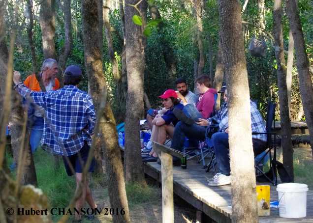
Past field trips (Field trips to a fully-silted dam, a spillway structure, a MEL culvert and much more ...)
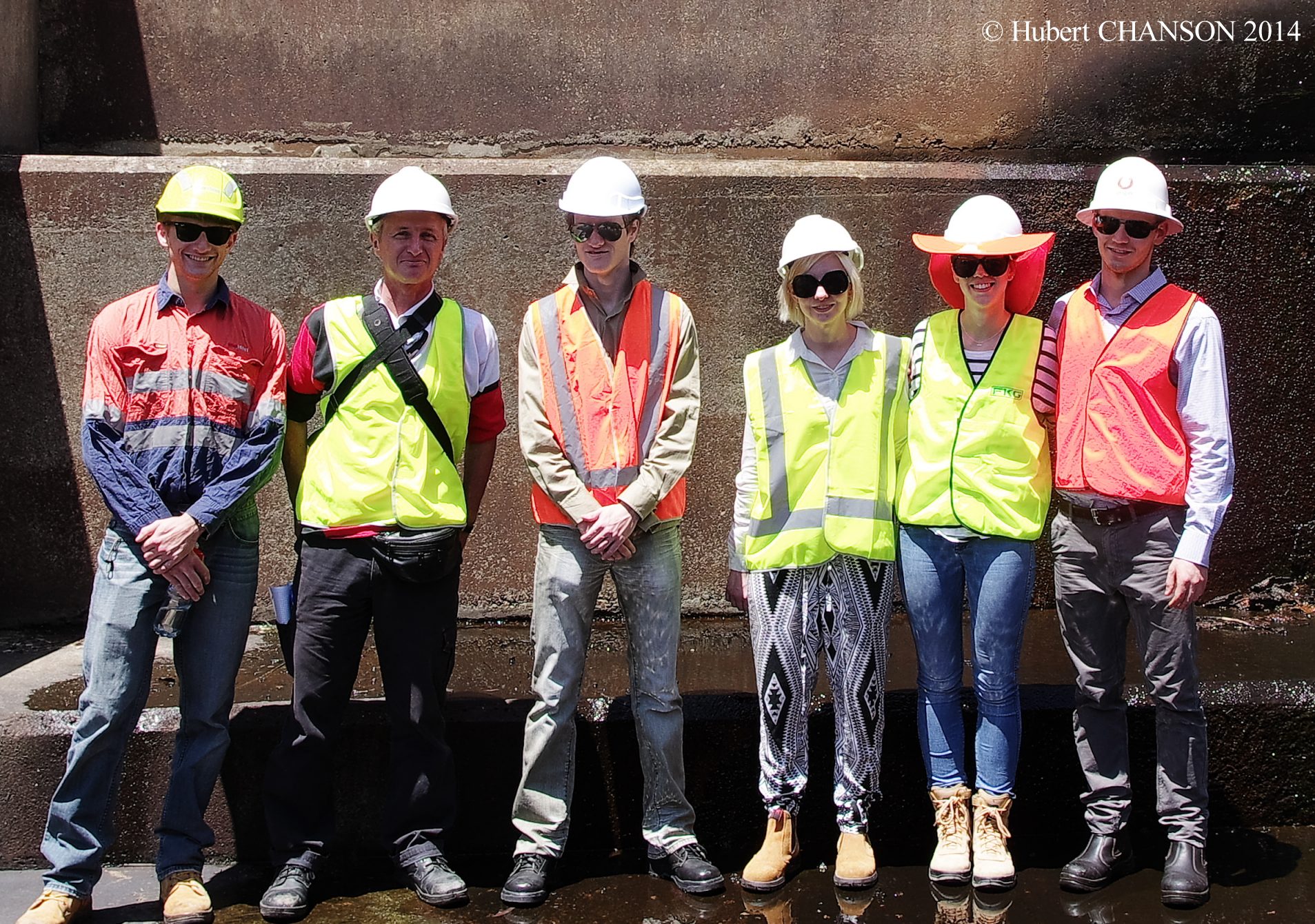
Visit of Hinze dam spillway and stilling basin on 24 October 2014
Photo No.11: general view of stepped spillway and stilling basin. Photo No. 12: stilling basin and turning veins leading to an ogee weir. Photo No. 13: stepped spillway with 3.3 m high baffle blocks in the foreground. Photo No. 14: details of baffle block. Photo No. 15: engineering students discussing about the spillway system next to a baffle block. Photo No. 16: CIVL4120 students with Professor Chanson at the spillway toe. Photo No. 17: stepped spillway toe and stilling basin..
Hinze dam spillway (Stage 3) in operation on 29/1/2013 at 12:15, Q ~ 170 m3/s. Photo No. 3: View from downstream of the stepped spillway operation. Photo No. 4: View from upstream of the uncontrolled ogee and stepped chute operation. See also: "Interactions between a Developing Boundary Layer and the Free-Surface on a Stepped Spillway: Hinze Dam Spillway Operation in January 2013", Proc. 8th International Conference on Multiphase Flow ICMF 2013, Jeju, Korea, 26-31 May, Gallery Session ICMF2013-005 (Video duration: 2:15). (Description) (Record at UQeSpace) (Video movie at UQeSpace).
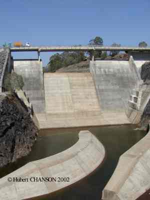
Hinze dam spillway stage 2: Photo No. 1 : spillway ogee crest during CIVL4120 student field trip on 4 Sept. 2002. Photo No. 2 : turning vanes at the downstream end of the steep chute, during CIVL4120 student field trip on 4 Sept. 2002.
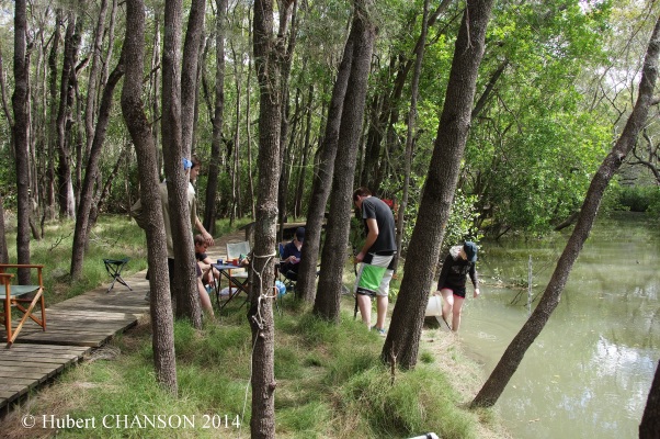
Field trip on 12 September 2014
Field works will place on 12 September 2014 at Eprapah Creek, Redlands. The field study is compulsory. Measurements shall be performed between 6:00am and 6:00pm to survey the hydrodynamics and water quality of the estuarine zone. The results wil be used to calibrate and validate the numerical modelling of the estuary based upon the method of characteristics and Saint Venant equations as well as to gain a first hand experience of a real-world natural system.
General instructions (14/8/2014)
Forms incl. fish/fauna sampling foms, risk assessment, waste management .... (7-zip format, version 17/09/2012)
Photographs of the field study in Eprapah Creek estuarine zone on Friday 12 September 2014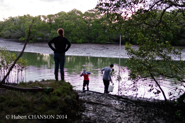
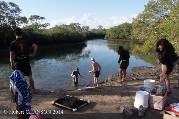
Site 1 (Group 1, AMTD 0.65 km): Photo 1.1: Group 1 at 09:40 on the right bank; Photo 1.2: Site 1 at 17:20 near end of ebb tide, looking downstream; Photo 1.3: Group 3 working on the right bank; Photo 1.4: Group 3 taking water saples at 17:40.
Site 2B (Group 2, AMTD 2.1 km): Photo 2.1: Group 2 at work at 08:20, early flood tide; Photo 2.2: Group 2 working on the left bank; Photo 2.3: Group 2 working on the right bank at 16:20.
Site 3 (Group 3, AMTD 3.1 km): Photo 3.1: at 07:30 during early flood tide, viewed from the right bank; Photo 3.2: Site 3 at 11:00, end of flood tide; Photo 3.3: Group 3 working on the right bank at 11:20.
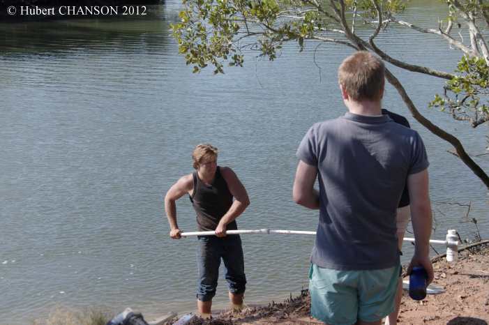
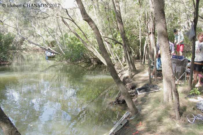
Field trip on 3 September 2012
Field works will place on 3 September 2012 at Eprapah Creek, Redlands. The field study is compulsory. Measurements shall be performed between 6:00am and 6:00pm to survey the hydrodynamics and water quality of the estuarine zone. The results wil be used to calibrate and validate the numerical modelling of the estuary based upon the method of characteristics and Saint Venant equations as well as to gain a first hand experience of a real-world natural system.
Instructions (22/8/2012)
Forms incl. fish/fauna sampling foms, risk assessment, waste management .... (7-zip format, version 17/09/2012)
Read the CIVL4120 students' feedback on the 2012 project & field trip (anonymous survey responses at SurveyMonkey).
Photographs of the field study in Eprapah Creek estuarine zone on Monday 3 September 2012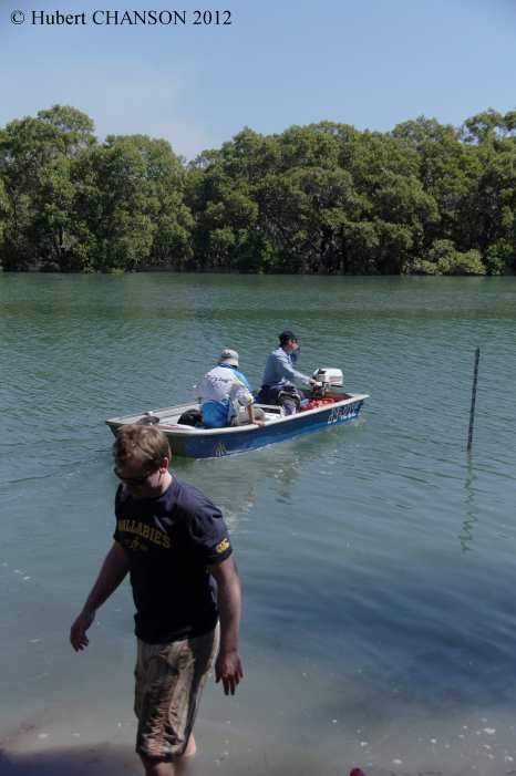
Site 1 (Group 1): Photo 1.1: Group 1 at 06:10; Photo 1.2: Water sampling at end of flood tide; Photo 1.3: NRM staff monitoring the water quality; Photo 1.4: Group 3 at work during ebb tide;
Site 2B (Group 2): Photo 2.1: Group 2 at work; Photo 2.2: Group 2 taking water sample;
Site 3 (Group 3): Photo 3.1: Group 3 work; Photo 3.2: Group 3 taking some water samples at end of flood tide.
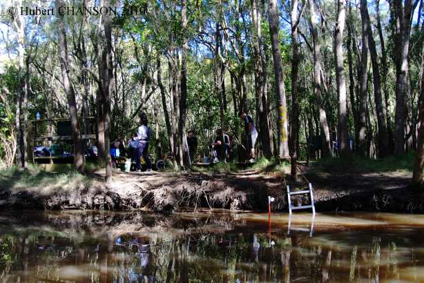
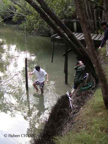
Field trip on 13 August 2010
Field works will place on 13 August 2010 at Eprapah Creek, Redlands. (The field study is compulsory.) Measurements shall be performed between 6:00am and 6:00pm to survey the hydrodynamics and water quality of the estuarine zone. The results wil be used to calibrate and validate the numerical modelling of the estuary based upon the method of characteristics and Saint Venant equations.
Final instructions (version 5/08/2010)
Forms incl. fish/fauna sampling foms, risk assessment, waste management .... (version 17/08/2006)
Read the CIVL4120 students' feedback on the 2010 field trip (anonymous survey responses).
Photographs of the field study on 13/08/2010
Site 1 (Group 1): Photo 1.1: Group 1 at low tide at 06:10; Photo 1.2: Water sampling at end of flood tide at 10:30; Photo 1.3: swamp wallaby next to Site 1 at 15:45;
Site 2B (Group 2): Photo 2.1: Group 2 at low tide at 07:00; Photo 2.2: Group 2 at 13:40 (early ebb tide); Photo 2.3: Brahminy kite at Site 2 at 14:10;
Site 3 (Group 3): Photo 3.1: Group 3 at 12:00 (high tide); Photo 3.2: Group 3 at 14:00 (early ebb tide).
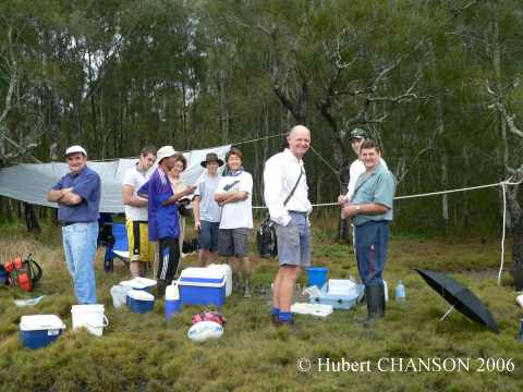
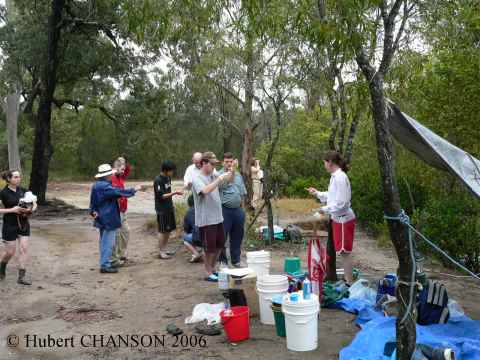
Field trip on 28 Aug. 2006
Field works will place on 28 Aug. 2006 at Eprapah Creek, Redlands. (The field study is compulsory.) Measurements will be performed between 6:00am and 6:00pm to survey the hydraulic engineering, biology and ecology of the estuarine zone. The results wil be used to calibrate and validate the numerical modelling of the estuary based upon the method of characteristics.
Final instructions (version 11/08/06)
Forms incl. fish/fauna sampling foms, risk assessment, waste management .... (version 17/8/06)
Field study in Eprapah Creek estuarine zone on Monday 28 August 2006Field trip on Thu. 2 Sept. 2004
Site 1 : Photo No. 1.1 : Group 1 at work around 8:30am. Photo No. 1.2 : Discussion with EPA officer around 11:45am. Photo No. 1.3 : Large boat passing upstream in front of Site 1 around 11:50am.
Site 2B : Photo No. 2.1 : Group2 at work around 7:00am. Photo No. 2.2 : looking upstream at Group 2 and river bank around 2:00pm. Photo No. 2.3 : looking from left bank at Group 2 students at low tide (7:00am).
Site 3 : Photo No. 3.1 : Site 3 looking downstream with Group 3 at work around 7:40am; note rainstorm runoff waterfall in background. Photo No. 3.2 : Looking downstream at the EPA boat arriving at Site 3 at 11:00am. Photo No. 3.3 : Group 3 students working on right bank around 8:00am.
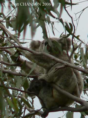
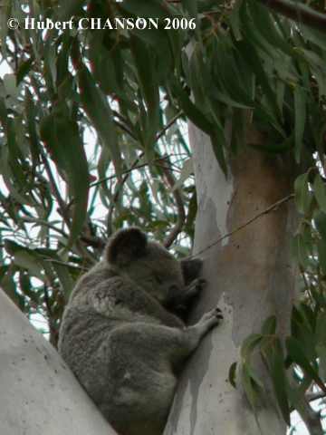
Wildlife : Photo No. 1 : Female koala and her baby feeding on an eucalyptus tree at Point Halloran Conservation area around 12:50pm. Photo No. 2 : Koala sleeping at Point Halloran Conservation area around 12:55pm.
Field works will place on Thu. 2 Sept. 2004 at Eprapah Creek, Redlands. (The field study is compulsory.) Measurements will be performed between 6:00am and 6:00pm to survey the hydraulic engineering, biology and ecology of the estuarine zone.
Photographs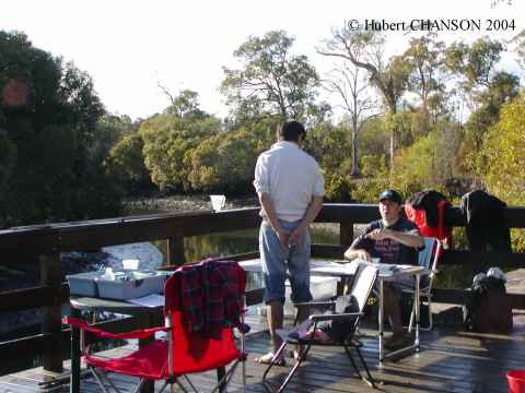
Site 1 : Photo No. 1.1 :Site 1 students around 7:15 am. Photo No. 1.2 : Site 1 around 12:00 noon at high tide. Photo No. 1.3 : Site 1 activity around 6:30am.
Site 2 : Photo No. 2.1 : Site 2 students around 7:15 am. Photo No. 2.2 : Site 2 activties around 11:00 am.
Site 3 : Photo No. 3.1 : Site 3 student activity around 6:45 am. Photo No. 3.2 : Site around 16:30, with the EPA taking physico-chemical readings mid-stream. Photo No. 3.3 : students around 13:00.
Wildlife : Photo No. 1 : Female koala next to Site 1 on 2 September 2004 around 8:40am.
Overseas visitors: Photo No.1 : Professor Shin-ichi AOKI, Toyohashi University of Technology (Japan)
Field trip on Wed. 4 Sept. 2002
/
/
/
Instructions and outline.
Photographs
Photo No. 1 : plant during CIVL4120 student field trip on 4 Sept. 2002. Photo No. 2 : spillway ogee crest during CIVL4120 student field trip on 4 Sept. 2002. Photo No. 3 : turning vanes at the downstream end of the steep chute, during CIVL4120 student field trip on 4 Sept. 2002. Photo No. 4 : Korrumbyn Creek, looking downstream on 4 Sept. 2002. Photo No. 5 : Korrumbyn Creek dam on 4 Sept. 2002. Photo No. 6 : Korrumbyn Creek reservoir, looking upstream on 4 Sept. 2002.
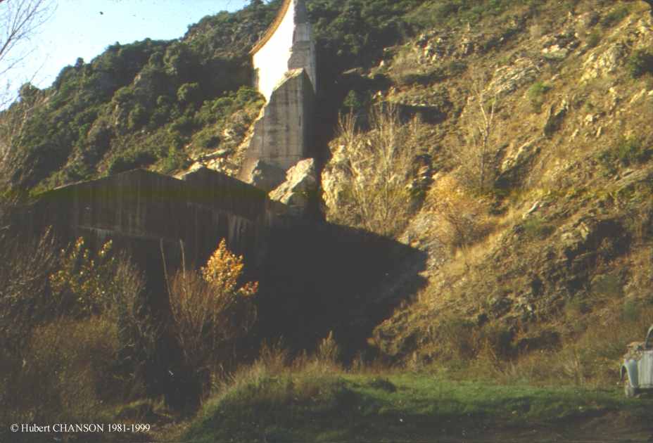
Korrumbyn Creek dam in Mount Warning National Park (on 18 Aug. 2002). Read the history of the dam: download PDF file.
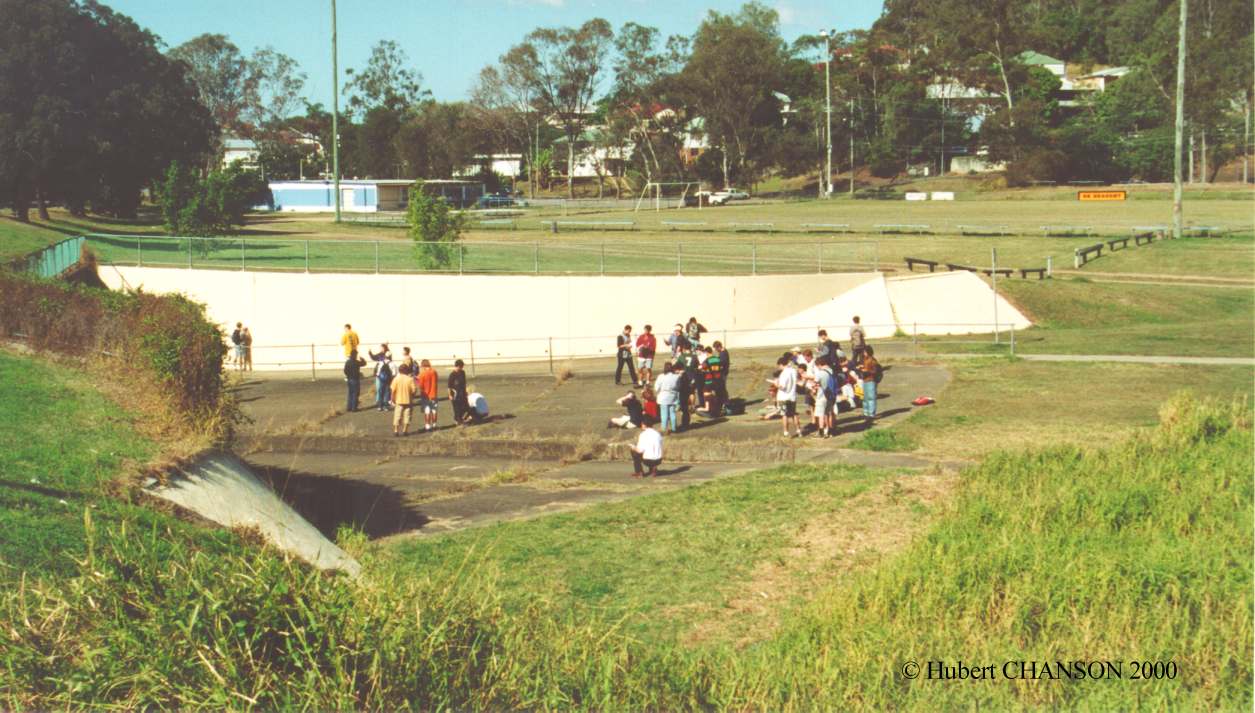
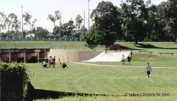
Field trip to minimum energy loss waterway (Aug. 2000), (Aug. 2001), (May 2002).
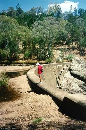
Field trip to Gold Creek dam (Aug. 2000). Read on the History of the Gold Creek dam spillway.
Saint-Venant equations. (1) Presentation {https://www.youtube.com/watch?v=Q7FKefVaQ2k}
Saint-Venant equations. (2) Basic equations {https://www.youtube.com/watch?v=RuLr_l8fXnY}
Saint-Venant equations. (3) The continuity equation {https://www.youtube.com/watch?v=b-9kn9INsFw}
Saint-Venant equations. (4) The dynamic equation {https://www.youtube.com/watch?v=JMEpharHV4k}
Saint-Venant equations. (5) Simplification of the dynamic equation {https://www.youtube.com/watch?v=aeYwKk0Iy7M}
Method of Characteristics in Open Channel Hydraulics. (1) Presentation {https://www.youtube.com/watch?v=eRCShWy69kc}
Method of Characteristics in Open Channel Hydraulics. (2) Graphical solution {https://www.youtube.com/watch?v=1xcyKBsn6-s}
Method of Characteristics in Open Channel Hydraulics. (3) Boundary conditions {https://www.youtube.com/watch?v=C_NhzCCCz7c}
Courant number {https://www.youtube.com/watch?v=Lufl84-wWO8}
The monoclinal wave {https://www.youtube.com/watch?v=jmWYK4n3_Xg}
The forebay problem - Negative surge in a forebay {https://www.youtube.com/watch?v=JctYHKrSoHY}
Transcritical flow and undular flow in open channel (1) {https://www.youtube.com/watch?v=gFGAb4HQQHY}
Physical modelling in hydraulic engineering (5) Distorted Froude similitude {https://www.youtube.com/watch?v=ynxOa6IQx6I}
Dam break. (1) Introduction {https://www.youtube.com/watch?v=TqAEjZyDwVE}
Dam break. (2) Ideal solution {https://www.youtube.com/watch?v=0KbA4ktz5cY}
Dam break. (3) Dam break wave in wet canal {https://www.youtube.com/watch?v=0MHGDTkoP9U}
Dam break. (4) Dam break wave on dry canal with friction {https://www.youtube.com/watch?v=R-jNOPPTTas}
Dam break. (5) Dam break on inclined channel {https://www.youtube.com/watch?v=PmBbeYPkers}
Mascaret at St Pardon on 14 June 2022 {https://www.youtube.com/watch?v=GGm_9fSFNjk}
Tidal bore surfing at Sunrise {https://www.youtube.com/watch?v=5OVp9CERtlM}
Tidal bore surfing in slow motion {https://www.youtube.com/watch?v=BkhdU5n_9_w}
Mascaret at St Pardon on 18 June 2022 {https://www.youtube.com/watch?v=ckfEQvMaWa4}
Tidal bore of the Qiantang River at Yanguan on 18 September2016 {https://www.youtube.com/watch?v=Nd4Bi9-mfBE}
Rumble noise of tidal bores (1) Presentation {https://www.youtube.com/watch?v=rQ-E5wtp0eU}
Rumble noise of tidal bores (2) Observations {https://www.youtube.com/watch?v=5pG-cdNxkOo}
Rumble noise of tidal bores (3) Theoretical consideration {https://www.youtube.com/watch?v=KFPvy1isa0I}
The sharp-crested weir {https://www.youtube.com/watch?v=m-1RtxCyN_c}
The V-notch weir {https://www.youtube.com/watch?v=UfJjnobzT6s}
The ogee crest {https://www.youtube.com/watch?v=-8tahsiSXkU}
Hydraulic Design of Standard Culvert (1) Introduction {https://www.youtube.com/watch?v=6PGQpZiqlhg}
Hydraulic Design of Standard Culvert (2) Box culverts {https://www.youtube.com/watch?v=gA4cY06blKM}
Hydraulic Design of Standard Culvert (3) Pipe culverts {https://www.youtube.com/watch?v=HiTp5Eis0fU}
Hydraulic Design of Standard Culvert (4) high tailwater conditions (dtw > D to dtw >> D) {https://www.youtube.com/watch?v=LVW05J-uBTs}
Minimum Energy Loss culverts and bridge waterways (1) Development {https://www.youtube.com/watch?v=SQjHY2Pf3Wk}
Minimum Energy Loss culverts and bridge waterways (2) Hydraulic design {https://www.youtube.com/watch?v=ncuecJVNqzg}
Minimum Energy Loss weirs and spillways {https://www.youtube.com/watch?v=Vf3US9mYdL4}
Jean-Baptiste Bélanger and his contribution to hydraulic engineering {https://www.youtube.com/watch?v=Lb5v90Yu_4w}
Rating : [***] = superb, must see - [**] = excellentGeneral
Rivers Seen from Space [**]
Structurae, International Database and Gallery of Structures [**]
NASA Earth observatory [***]
NASA Visible Earth [***]Gallery of Photographs in Fluid Mechanics, Hydraulic & Environmental Engineering and Engineering History
The Formal Water Garden
E-FluidHydrology/Weather
Bureau of Meteorology (Australia)River engineering
Extreme reservoir siltation in Australia
The tidal bore of the Seine riverComputational modelling in hydraulics
Artifical river habitats and fish passes (photographs)
Flood plains (photographs)
Aerial photographs of American rivers and valleys [**]
SoftwaresHydrochan (TM) [**] Gradually-varied flows (1D) (for teaching purposes ONLY)
US Army Corps of Engineers HEC Softwares
Dam
engineering
ICOLD (International Commission on Large Dams)Spillway design and operation
Dams Safety Committee of New South Wales Australia
British Dam SocietyBureau of Reclamation Dams DataWeb
US Army Corps of Engineers Reservoirs in Pittsburgh's district
US Army Corps of Engineers, Walla Walla district [Photographs are listed Here]
US Army Corps of Engineers, Portland district, Photofile [**]
The Elan Valley dams and reservoirs [**]
Gabion hydraulic structures (small dams, weirs) [Maccaferri]
Steel dams
Timber Crib Weirs in Queensland, Australia
History of arch dams
Rubber dams
The Minimum Energy Loss (MEL) weir designWeirs and small dams on the Kent river (UK) [**]
Itaipu dam (Brazil/Paraguay)
Petit-saut dam (French Guyana)Failures
Teton dam (5 June 1976) {http://www.pn.usbr.gov/dams/Teton.shtml} {http://www.ida.net/users/elaine/idgenweb/flood.htm}
California 1997 Flood Images
July 1996 Flooding and Dam Failures in the Saguenay River area of Quebec - Photographs of dam failures and flooded area [**]Air entrainment on chutes spillways
Embankment overflow stepped spillways: earth dam spillways with precast concrete blocks {http://www.uq.edu.au/~e2hchans/over_st.html}
Stepped spillwaysCulvert designWorld's oldest stepped spillway (Greece)
Santa Cruz dam stepped spillway (USA)
Greeley spillway (USA) [*]
Stepped spillway photographs
Embankment overflow stepped spillways: earth dam spillways with precast concrete blocks
Hydraulics of Minimum Energy Loss (MEL) culverts and bridge waterways
Introducing Originality and Innovation in Engineering Teaching: the Hydraulic Design of Culverts, European Journal of Engineering Education, Vol. 25, No. 4, pp. 377-391.
Hydraulics of Minimum Energy Culverts and Bridge Waterways, Australian Civil Engrg Trans., I.E.Aust., Vol. CE25, No. 2, pp. 89-95.
SoftwaresWater quality issuesHydroculv (TM) [***] Culvert hydraulics (Complete download including VB support files : http://www.compusmart.ab.ca/dwilliam/download.htm) (for teaching purposes ONLY)
Hydrochan (TM) [**] Gradually-varied flows (1-D) (for teaching purposes ONLY)
Chicago Calumet waterway: sidestream aeration cascadesCoastal engineering
Petit-saut dam (French Guyana): aeration cascade
Petit-Saut dam : photographs, dam details
French Naval and Hydrographic Service SHOM [**]Australian
Tidal bore (mascaret) of the Seine river
Photographs of tidal bores (incl. mascaret, pororoca)
WhirlpoolsTide calculations worldwide (in French)
Coastal engineering web page of Dr Robert A. Dalrymple
Tsunami : Information - PhotographsInlets on-line (USACE) [**]
Bureau of MeteorologyResources
Goulburn-Murray Water
Hydro-Electric Corporation (Tasmania)
Murray-Darling Basin Commission
NSW Department of Land and Water Conservation
QLD Department of Natural Resources [Water, Storages] [Glossary of terms]
University of Queensland LibraryMeasurement systems : SI Units and significant figures
Internet resources in Hydraulic Engineering : rubber dams, tidal bore, reservoir siltation, MEL culverts ...
ICEnet: The Institution of Civil Engineers, UK Homepage
Japan Society of Civil Engineers
ASCE - American Society of Civil Engineers Homepage
ASME - American Society of Mechanical EngineersENPC - Ponts et Chaussees
IAHR homepage (International Association for Hydraulic Research)US Geological Survey
Civil Engineering Resources on the Internet (GuideMe.com)
|
|
|
|
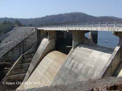
 Gold Creek
dam. Field trip in Aug. 2000
Gold Creek
dam. Field trip in Aug. 2000

